

Preview
Creation Date
2-18-2000
Description
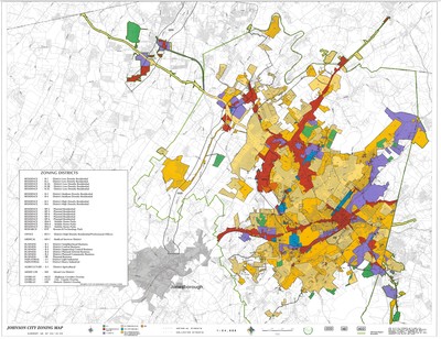
Zoning map for Johnson City, Tennessee created February 18, 2000 by Johnson City GIS. The guide to zoning districts can be found in a box on the lower left corner. The color coded key and additional information is included along the bottom. Arterial and collector streets are also denoted using empty versus solid circles. Physical copy resides with Johnson City, Geographic Information Systems Division.
Scale - 1" = 2000'
Dimensions
34" x 44"
Rights
This map is being provided with permission of Johnson City GIS Division. As a Tennessee state depository library per T. C. A. § 12-6-107, Sherrod Library is providing free and open access to this map as part of our Tennessee Documents Collection. This map is for research and educational purposes only. Responsibility for interpretation and application of this map lies with the user. Sherrod Library makes no claim of copyright on this material. For additional use or rights of this map, please contact the GIS Division of Johnson City.
Keywords
Johnson City GIS, zoning, Johnson City, rare map
