


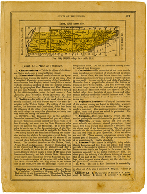
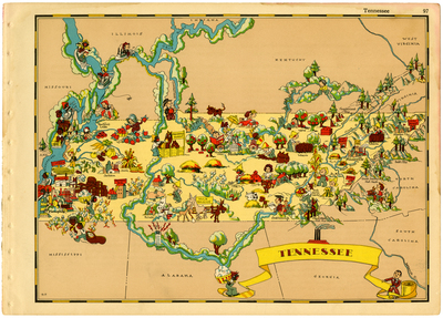
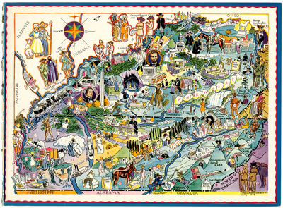
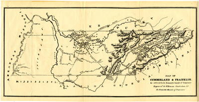
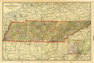
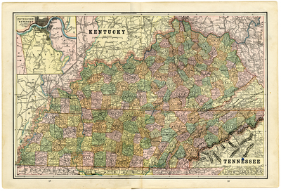
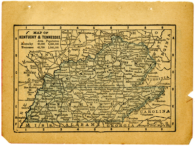
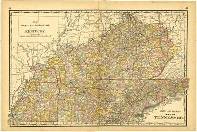
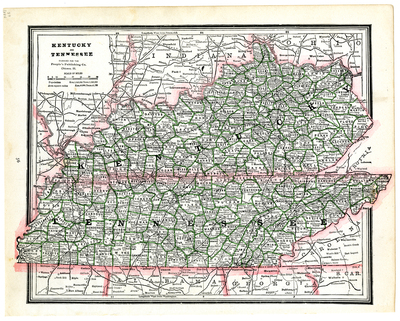
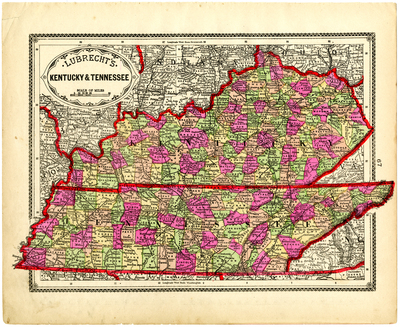
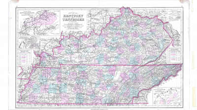
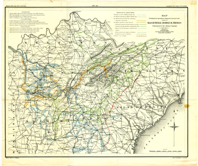
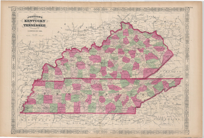
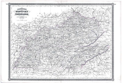
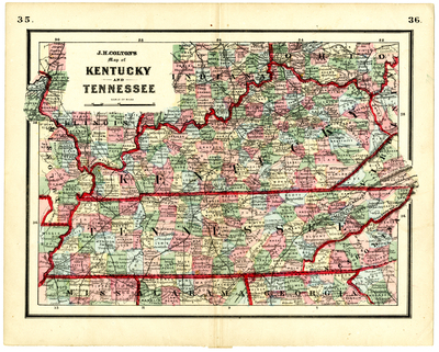
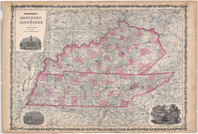
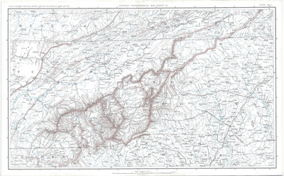
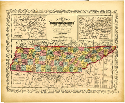
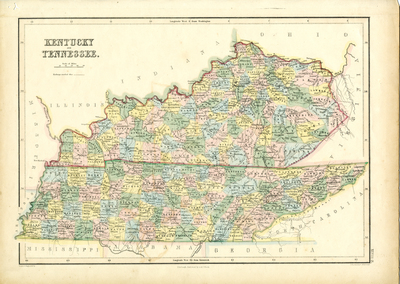
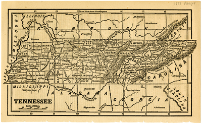
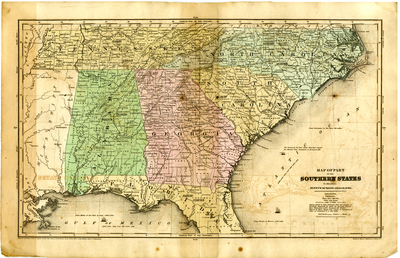
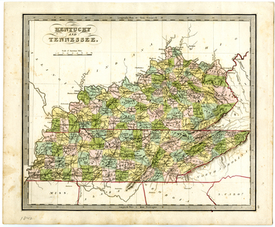
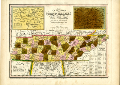
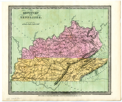
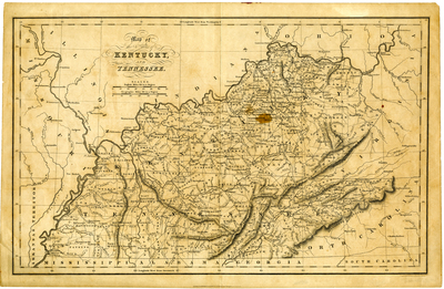
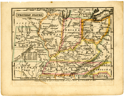
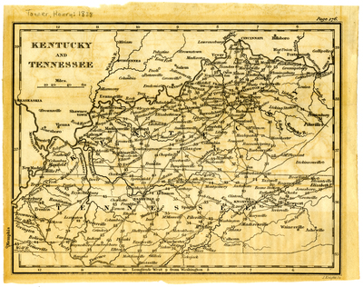
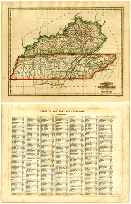
The current digital collection comprises a selection of thirty-four historic maps of Tennessee and southern Appalachia. The digitized maps, which date between 1772-1935, are drawn from the nearly seventy maps found in the Steven Craig Hurd Map Collection.
PDF versions are available for download below. Georeferenced versions are available for viewing at:
https://archives-of-appalachia-etsu.hub.arcgis.com
Additional digitized maps of southern Appalachia can be found at:
https://dc.etsu.edu/rare-maps (for rare maps held by either the Archives of Appalachia or the Government Information, Law, and Maps Department of the ETSU Sherrod Library)
and
https://dc.etsu.edu/archives-maps (for rare maps held by the Archives of Appalachia).
Printing is not supported at the primary Gallery Thumbnail page. Please first navigate to a specific Image before printing.
")
