

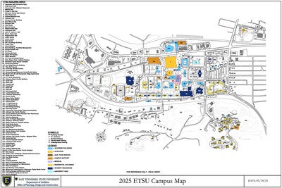
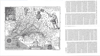
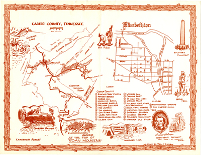
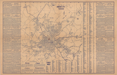
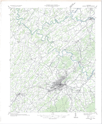
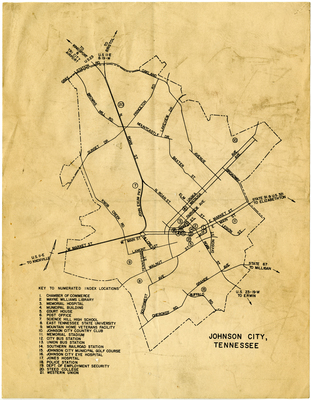
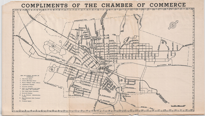
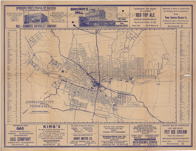
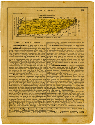
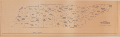
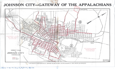
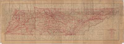
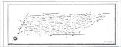
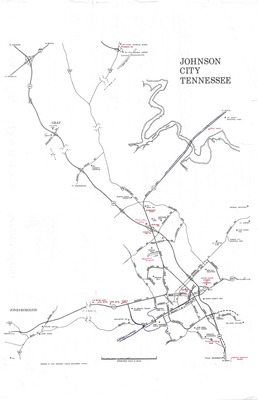
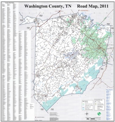
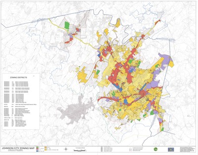
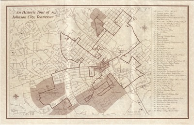
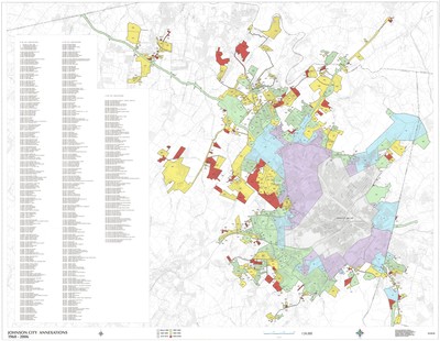
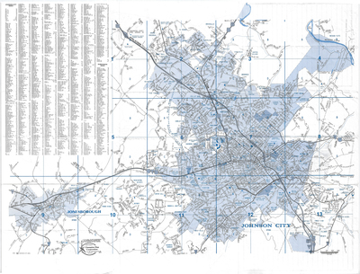
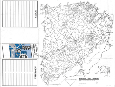
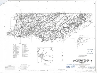
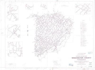
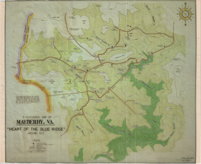
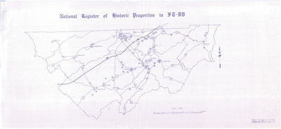
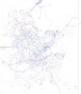
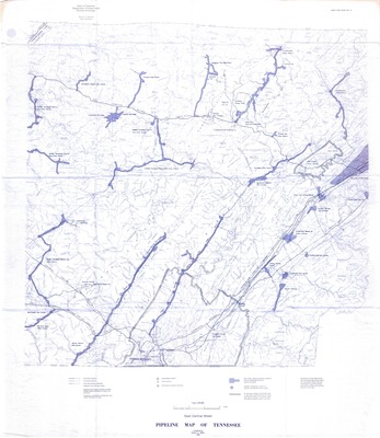
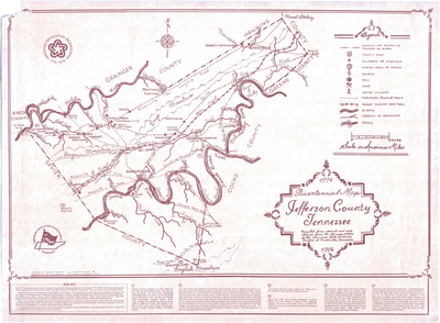
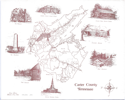
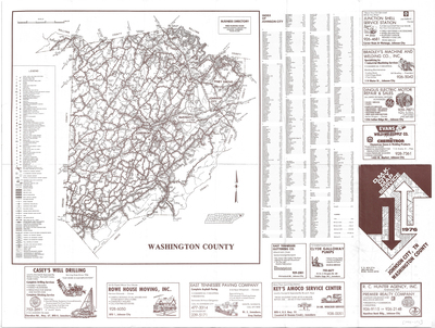
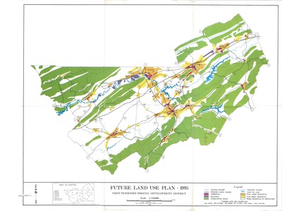
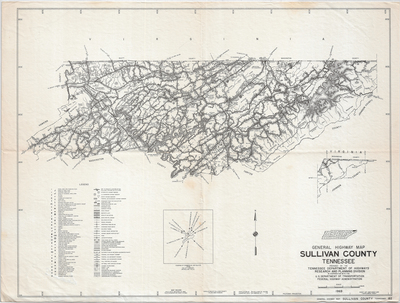
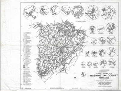
A digital collection showcasing some of the rare and historical maps housed in the Government Information, Law, and Maps Department of the ETSU Sherrod Library and in the Archives of Appalachia. Many of these maps focus on the local area and region of northeast Tennessee from a historical perspective. These maps are openly accessible for educational and research purposes. For more information or access to the physical maps, please contact the Government Information, Law, and Maps Department or the Archives of Appalachia.
Printing is not supported at the primary Gallery Thumbnail page. Please first navigate to a specific Image before printing.

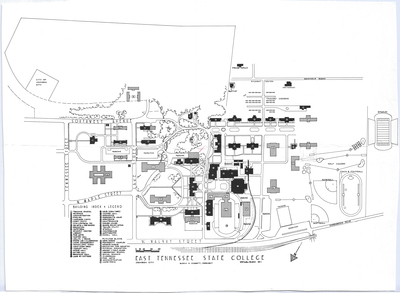
")
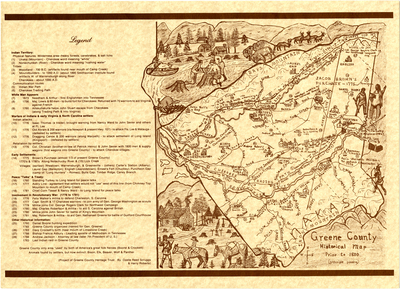
")
")
")
")
")
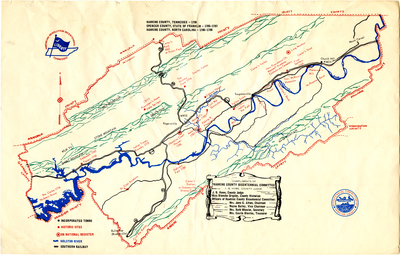
; Spencer County, State of Franklin (1785-1787); Hawkins County, NC (1786-1790) (file mapcoll_002_02)")
