

Preview
Creation Date
8-4-2010
Description
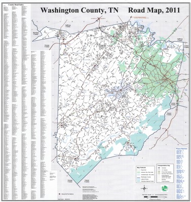
General highway map for Washington County, Tennessee created August 4, 2010 by Johnson City GIS. Map features, the transportation key, and place/neighborhood names can be found in the lower right corner. A county road index which lists county roads alphabetically can be found along the left edge. Physical copy resides with Johnson City, Geographic Information Systems Division.
Scale - 1" = 4700'
Dimensions
34" x 32"
Rights
This map is being provided with permission of Johnson City GIS Division. As a Tennessee state depository library per T. C. A. § 12-6-107, Sherrod Library is providing free and open access to this map as part of our Tennessee Documents Collection. This map is for research and educational purposes only. Responsibility for interpretation and application of this map lies with the user. Sherrod Library makes no claim of copyright on this material. For additional use or rights of this map, please contact the GIS Division of Johnson City.
Keywords
Tennessee, Washington County, historical map, road map, rare map, Johnson City GIS
