

Preview
Creation Date
12-1966
Description
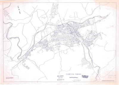
City zoning map of Elizabethton, Tennessee prepared in December 1966 by the Tennessee State Planning Commission from subdivision plats and soil conservation aerial photographs. The preparation of this map was financially aided through a federal grant from the U.S. Department of Housing and Urban Development, under the Urban Planning Assistance Program authorized by Section 701 of the House Act of 1954, as amended.
The city's major roads, railroads and waterways are labeled. There is slight water damage on the right side of the map which led to the discoloration. According to the Tennessee State Depository stamp, this zoning map became part of the Sherrod Library depository collection on March 18, 1986.
Physical copy resides in the Government Information, Law and Maps Department of East Tennessee State University’s Sherrod Library.
Dimensions
22" x 30"
Rights
As a Tennessee state depository library per T. C. A. § 12-6-107, Sherrod Library is providing free and open access to this map as part of our Tennessee Documents Collection. This map is for research and educational purposes only. Sherrod Library makes no claim of copyright on this material.
Keywords
map, rare map, Elizabethton, Tennessee, zoning map
