

Preview
Creation Date
1-9-1967
Description
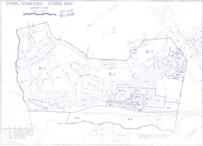
Zoning Map for Erwin, Tennessee published in 1967 by the Tennessee State Planning Commission. Base map prepared in September 1965 from subdivision plats and soil conservation Aerial Photographs. Includes downtown Erwin and some surrounding areas. Some numbers were added by hand to individual properties in black ink at an indeterminate time post publication.
Physical copy resides in the Government Information, Law and Maps Department of East Tennessee State University’s Sherrod Library.
Dimensions
31" x 22"
Rights
As a Tennessee state depository library per T. C. A. § 12-6-107, Sherrod Library is providing free and open access to this map as part of our Tennessee Documents Collection. This map is for research and educational purposes only. Sherrod Library makes no claim of copyright on this material.
Keywords
Erwin, Tennessee, Zoning, Map, Rare Map Collection
Image Location
Institutional Ownership
From the collection of Government Information, Law and Maps.
