


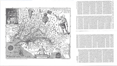
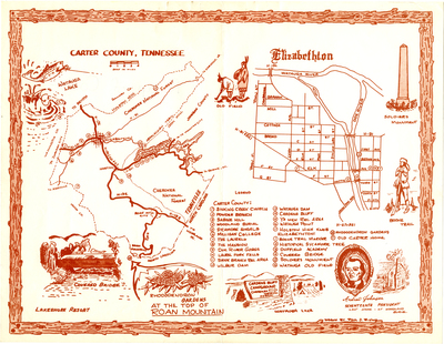
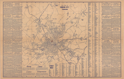
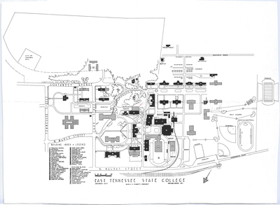
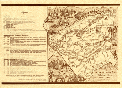
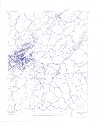
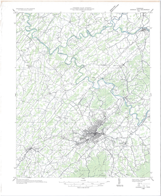
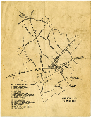
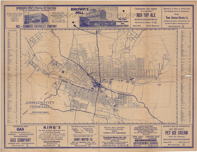
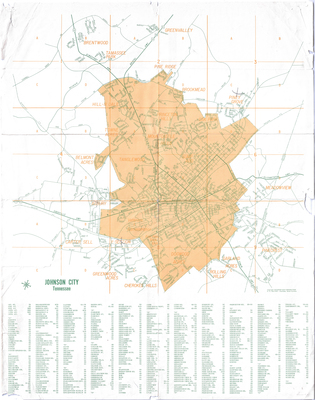
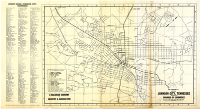
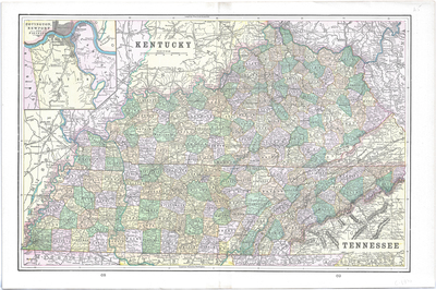
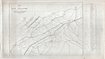
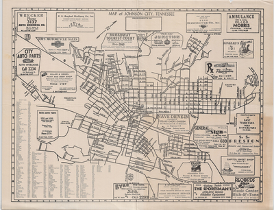
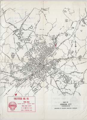
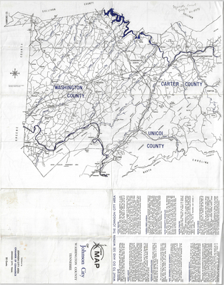
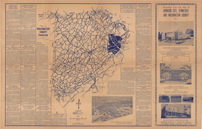
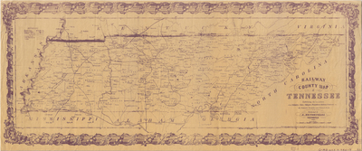
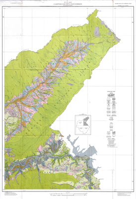
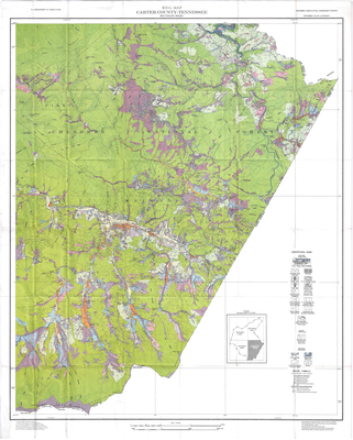
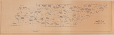
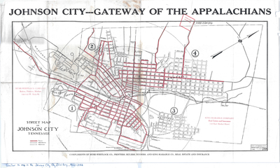
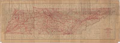
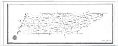
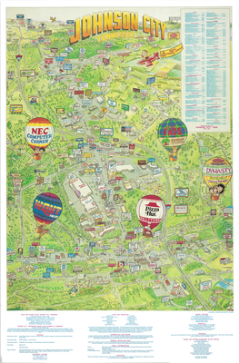
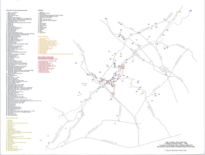
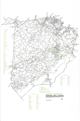
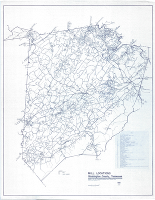
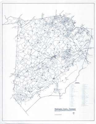
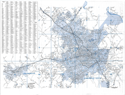
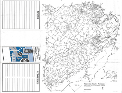
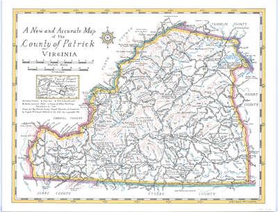
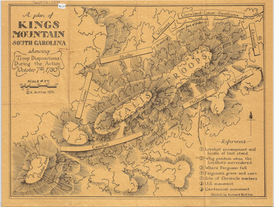
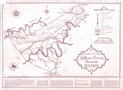
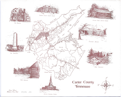
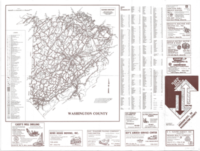
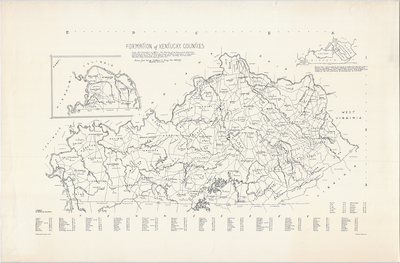
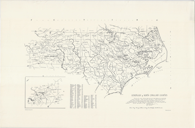
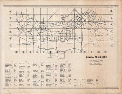
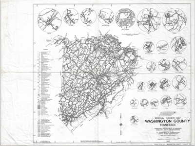
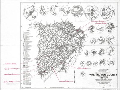
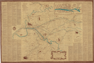
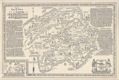
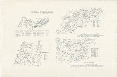
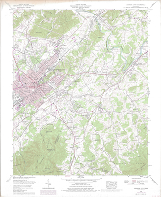
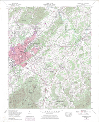
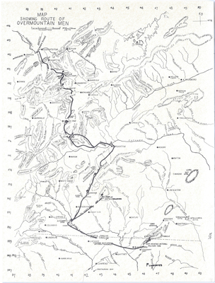
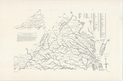
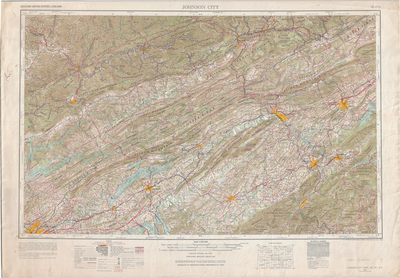
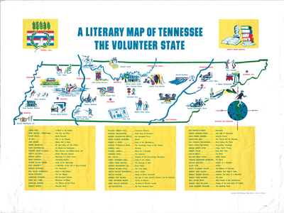
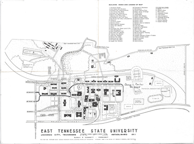
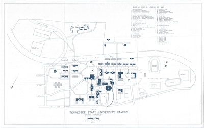
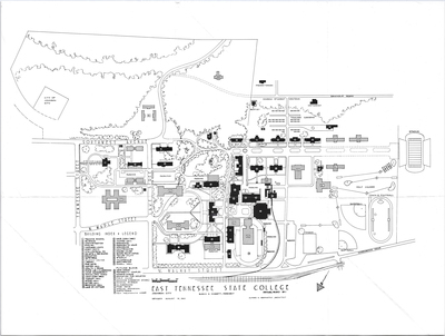
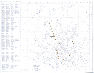
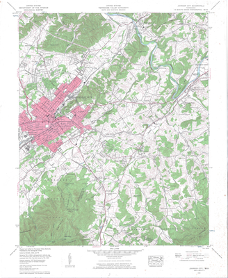
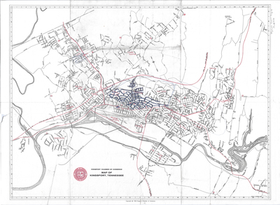
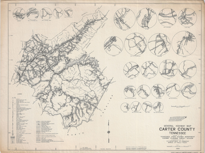
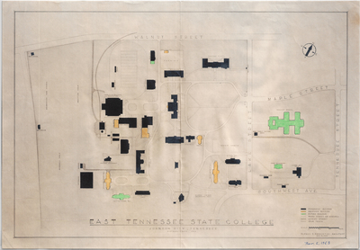
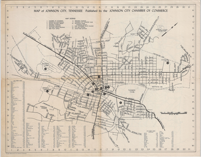
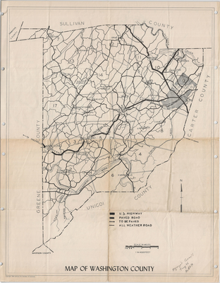
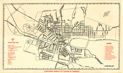
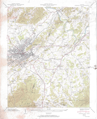
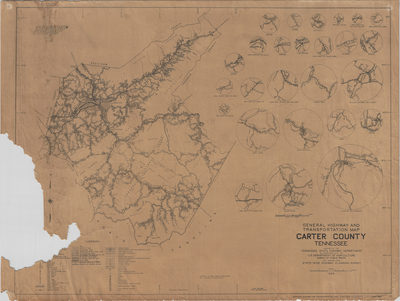
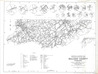
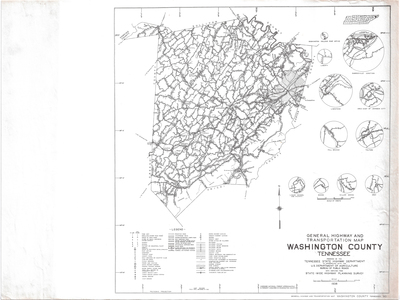
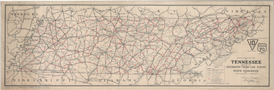
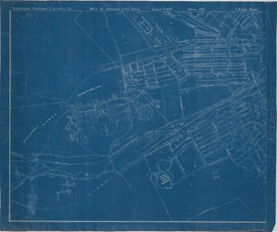
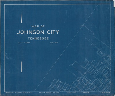
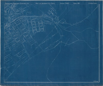
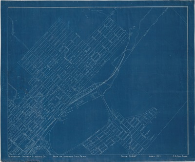
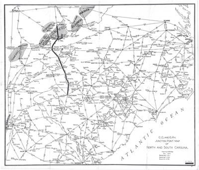
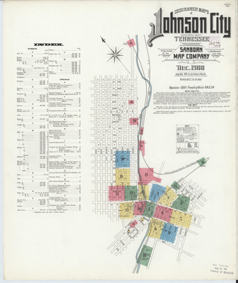
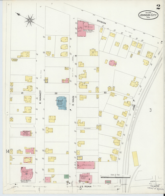
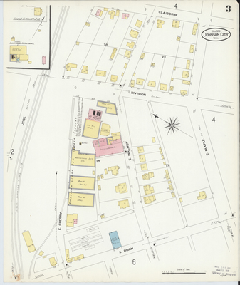
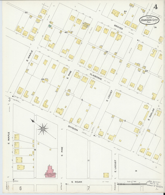
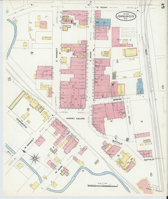
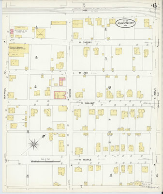
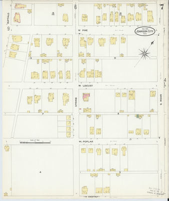
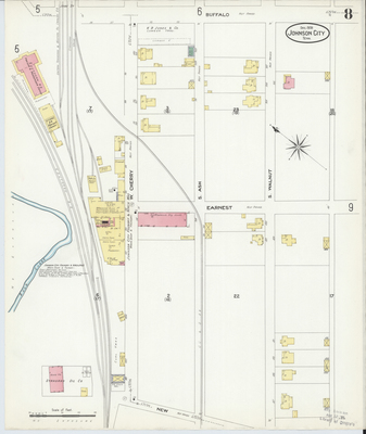
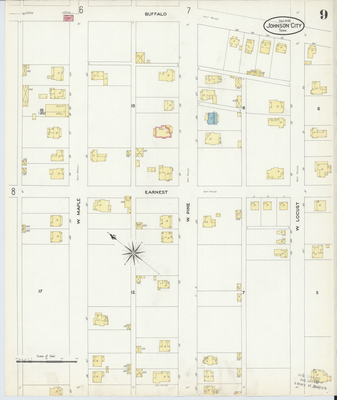
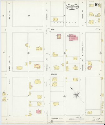
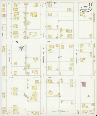
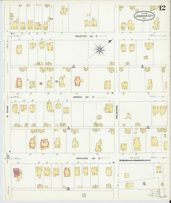
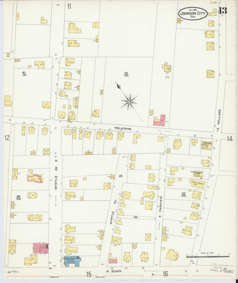
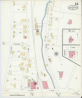
The current digital collection comprises a selection of 107 historic maps of Tennessee and southern Appalachia, including ten that focus on Washington County, forty-seven that focus on Johnson City, and five that represent the campus of ETSU. The digitized maps, which date between 1855-1989, are drawn from the nearly 250 maps found in the Archives of Appalachia's Map Collection.
PDF versions are available for download below. Georeferenced versions are available for viewing at:
https://archives-of-appalachia-etsu.hub.arcgis.com
Additional digitized maps of southern Appalachia can be found at:
https://dc.etsu.edu/rare-maps (for rare maps held by either the Archives of Appalachia or the Government Information, Law, and Maps Department of the ETSU Sherrod Library)
and
https://dc.etsu.edu/archives-maps (for rare maps held by the Archives of Appalachia).
")
")
")
")
")
")
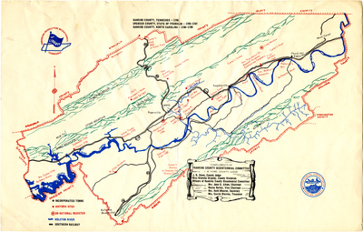
; Spencer County, State of Franklin (1785-1787); Hawkins County, NC (1786-1790) (file mapcoll_002_02)")
")
