
Preview
Creation Date
4-23-1998
Description
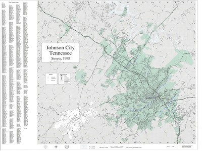
Produced by the Johnson City GIS Division on April 23, 1998, this map denotes the streets of Johnson City. The legend includes fire stations, neighborhoods, and schools. A city street index is also included. The map was designed by Gregory Plumb, GIS Coordinator and Ann Howland, GIS Database Specialist. Physical copy resides with Johnson City, Geographic Information Systems Division.
Scale - 1:24,000 - 1" = .4 mile
Dimensions
36" x 44.5"
Rights
This map is being provided with permission of Johnson City GIS Division. As a Tennessee state depository library per T. C. A. § 12-6-107, Sherrod Library is providing free and open access to this map as part of our Tennessee Documents Collection. This map is for research and educational purposes only. Responsibility for interpretation and application of this map lies with the user. Sherrod Library makes no claim of copyright on this material. For additional use or rights of this map, please contact the GIS Division of Johnson City.
Keywords
johnson city, tennessee, map, street map, rare map, Johnson City GIS