
Preview
Creation Date
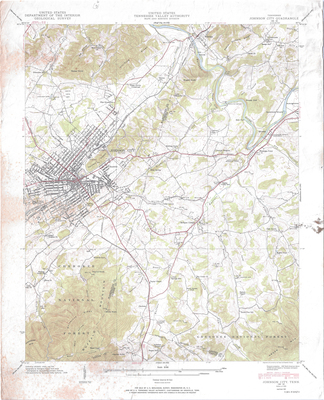
1940
Description
United States, Tennessee Valley Authority: Maps and Surveys Division, Department of the Interior: Geological Survey. Topography by Geological Survey from aerial photographs by stereophotogrammetric methods. Field examination by Tennessee Valley Authory, 1939. Edition of 1940. Reprinted in 1951. Scale 1 in = .4 mile/ 2000 ft/ .6 km
Dimensions
56 x 69 cm
Rights
The Archives of Appalachia at East Tennessee State University provides access to these materials for the purposes of research and education and is not aware of any U.S. copyright protection or any other restrictions for this item. Any commercial uses of the materials or any uses that exceed the limits of fair use and other relevant statutory exceptions may require the permission of any copyright holder(s). It is the user's obligation to determine and satisfy copyright or other use restrictions when publishing or otherwise distributing materials. Preferred citation: [identification of item], Archives of Appalachia, East Tennessee State University.
Keywords
Archives of Appalachia, rare map, Tennessee, Washington County, Johnson City