
Preview
Creation Date
1962
Description
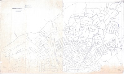
City map of Bristol, Virginia. While date is not printed on map, "1962" is written in pencil on the back. This is the assumed publication date. Sullins College, which closed in July 1976, being included confirms that publication at least predates the mid 1970s.
The legend includes the scale - 1"=500'. Road, railways, and large cemeteries are labeled. A few streets such as Midway Street and Memorial Drive are written by hand in blue ink. These additions were made at an indeterminate time post publication.
Physical copy resides in the Government Information, Law and Maps Department of East Tennessee State University’s Sherrod Library.
Dimensions
24" x 41"
Rights
As a Tennessee state depository library per T. C. A. § 12-6-107, Sherrod Library is providing free and open access to this map as part of our Tennessee Documents Collection. This map is for research and educational purposes only. Sherrod Library makes no claim of copyright on this material.
Keywords
Bristol, Virginia, Tennessee, Map, Rare Map