
Preview
Creation Date
6-18-1993
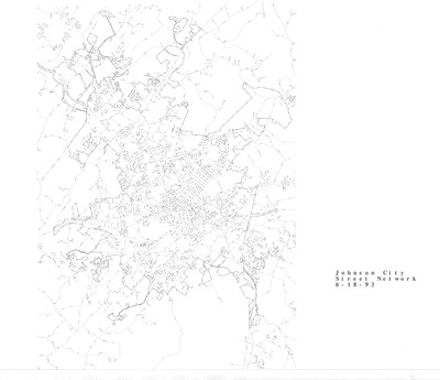
Description
Street map of Johnson City, Tennessee created on June 18, 1993 by Johnson City GIS. This map denotes the highways and roads of Johnson City as they were in 1993. No scale is included. Physical copy resides with Johnson City, Geographic Information Systems Division.
Dimensions
32" x 48"
Rights
This map is being provided with permission of Johnson City GIS Division. As a Tennessee state depository library per T. C. A. § 12-6-107, Sherrod Library is providing free and open access to this map as part of our Tennessee Documents Collection. This map is for research and educational purposes only. Responsibility for interpretation and application of this map lies with the user. Sherrod Library makes no claim of copyright on this material. For additional use or rights of this map, please contact the GIS Division of Johnson City.
Keywords
Johnson City GIS, Steet Map, Johnson City, Rare Map