
Preview
Creation Date
1941
Description
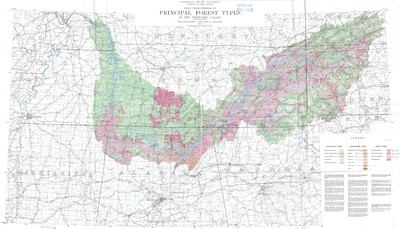
Published by the Tennessee Valley Authority- Department of Forestry Relations in 1941, this map displays areas characterized by principal forest types in the Tennessee Valley. The legend denotes specific species of trees as well a description of each. Handwritten numbers were added to the legend at an unspecified date post publication.
Cartography provided by Maps and Surveys Division. Minimum area classified by field survey - 100 acres. Minimum area delimited on this maps - 750 acres. Cleared lands are not delineated.
Physical copy resides in the Government Information, Law and Maps Department of East Tennessee State University’s Sherrod Library.
Scale - 1" = 10 miles
Dimensions
36" x 60"
Rights
As a Federal Depository per Title 44 U.S.C., Sherrod Library is providing free and open access to this map as part of our Federal Depository Collection. This map is for research and educational purposes only. Sherrod Library makes no claim of copyright on this material. It is the user's obligation to determine and satisfy copyright or other use restrictions when publishing or otherwise distributing materials.
Keywords
Forestry, Tennessee Valley, Tennessee Valley Authority, Rare Map