
Preview
Creation Date
1983
Description
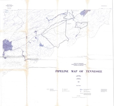
Pipeline map of east Tennessee published in 1983 by the State of Tennessee Department of Conservation, Division of Geology. Compiled by Robert A. Miller. Assisted by Frank McConnell, the Tennessee Gas Association, the Tennessee Public Service Commission, and the private and public utilities and carriers shown on the map.
The legend denotes interstate and intrastate pipelines, gas utilities, and private gas company franchised areas. The scale is 1:250,000. The eastern sheet is part of a series of maps that cover the entire state. The coverage area on this map is from Knoxville to the tip of northeast Tennessee.
Physical copy resides in the Government Information, Law and Maps Department of East Tennessee State University’s Sherrod Library.
Dimensions
36" x 32"
Rights
As a Tennessee state depository library per T. C. A. § 12-6-107, Sherrod Library is providing free and open access to this map as part of our Tennessee Documents Collection. This map is for research and educational purposes only. Sherrod Library makes no claim of copyright on this material.
Keywords
Gas pipline, East Tennessee, Conservation, Geology